Portfolio / Independent builds
Independent build · Interactive map
Oʻahu Flood & Tsunami Planner
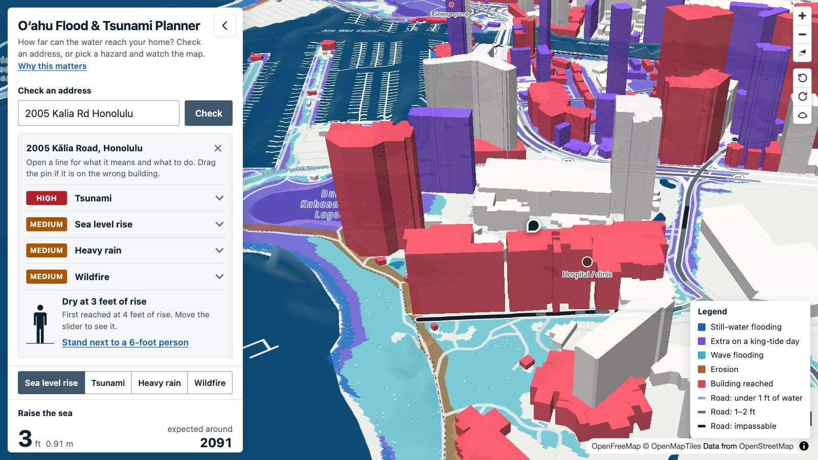
Type an Oʻahu address and see how far water can reach it, and what to do before the warning comes.
A project by Dean Ahlgren, founder of Ahlgren Media Group
Who it’s for
Oʻahu residents who want to know whether water can reach their home. Most arrive on a phone.
What it shows
- Plain-language risk: every rating ends in something to do
- Data storytelling: public hazard data on a 3D map
- Phone first: works by touch and keyboard
How it works
It runs in the browser on a phone or a computer, with nothing to install. An address gets a rating for sea-level rise, king tides, tsunamis, heavy rain and wildfire, each with what to do and links to the official sources. The map uses public data from the University of Hawaiʻi, NOAA, the City and County of Honolulu and the Hawaiʻi Wildfire Management Organization, and every estimate is labeled as one.
Hiring for instructional design or AI training?
Tell me about the role or the project, and what the people you train need to do differently.
Or write to me on LinkedIn (opens in a new tab).
Or email dean@deanahlgren.com.